Lidaretto H32(X)
Survey-grade mobile scanner for every platform.
Hesai XT32 or XT32M2X Lidar, survey-grade GNSS and a high-performance IMU in one compact, rugged unit. Scan with PPK from a drone, a car or a backpack, or switch to SLAM where satellites cannot help.

- 120 / 300 m Max range H32 / H32X
- ±1 cm Typical range accuracy
- 32 Channels
- 640,000points/sec Single return H32 / H32X
- 1 TB Internal memory
Why Lidaretto H32(X)?
One compact scanner supports both PPK and SLAM, so you can use it for nearly all kinds of 3D data capture, outdoors and indoors.

One scanner, all platforms
Many ways to carry it. Mount it on a UAV, a car or a backpack, or hold it in your hand. Brackets are made for each setup.
One investment. The same scanner and the same software serve all your projects, from road scanning to building interiors.
-
Survey-grade positioning
Built-in GNSS and IMU. The Novatel GNSS receiver and high-performance IMU deliver post-processed (PPK) position accuracy of 1-2 cm.
SLAM when needed. Where PPK is not suitable, switch to SLAM mode and keep scanning.
-
Faster fieldwork
Scan everything around you. Capture a site quickly instead of measuring it point by point with RTK rovers or total stations.
Finish in the office. Less time in the field. Process the data and extract the information you need in the comfort of your office.
-
Choose your Lidar
H32 with Hesai XT32. For projects where the XT32 range meets your requirements.
H32X with Hesai XT32M2X. For projects that need a longer maximum range and a lighter scanner.
-
Compact and rugged
Small and light. A compact unit for UAV, car, backpack and handheld scanning. Protected against water and dust, with an IP67 Lidar module.
Easy data handling. Record data internally, download it over USB-C and operate the scanner via Wi-Fi from your phone.
What's inside
Lidar, GNSS and IMU in one compact body. Choose the options that fit your platform.
-
Hesai XT32 / XT32M2X Lidars
Best in class, 32 channels, ±1 cm typical range accuracy. 120 m max range on the H32, up to 300 m on the H32X.
-
Scanner body
Rugged design for most demanding environments, built-in survey-grade GNSS receiver and high-precision IMU, 1 TB internal memory, fast USB-C data download, Wi-Fi connection and web interface.
-
Mounting
Custom-made brackets for UAV, car, backpack and handheld setups.
-
GNSS antennas
For each platform, including custom cables.
-
360° camera
Optional camera for point cloud colorization and panorama export.
Where to use Lidaretto H32(X)
Wherever accurate and reliable geospatial data are essential. Every image below is a point cloud captured with a Lidaretto scanner.
-
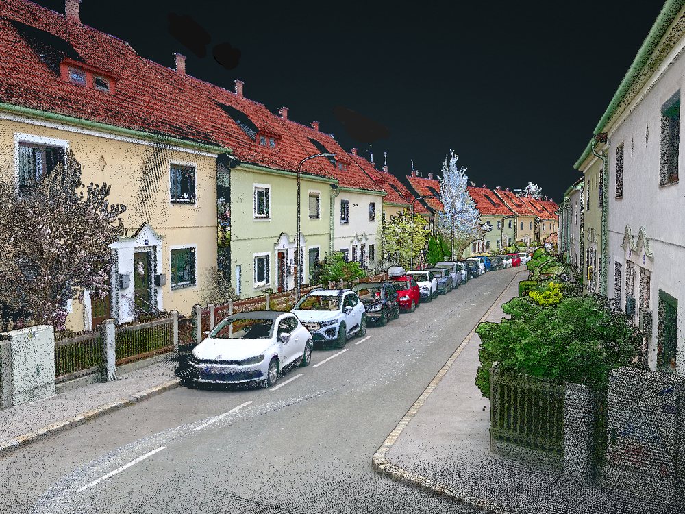
Surveying and mapping
Scan everything around you quickly instead of measuring point by point. Map villages, terrain and whole areas from a drone or a car.
-
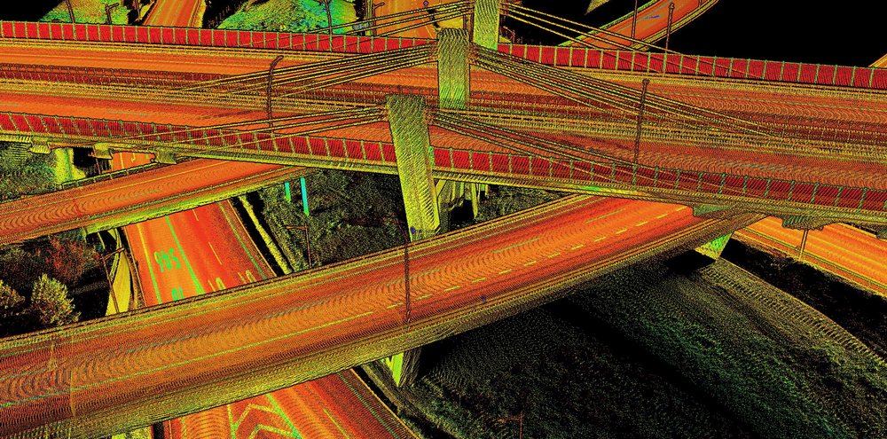
Roads and railways
Map junctions, highways and railways continuously from a moving car or a drone, for design, construction progress and maintenance.
-
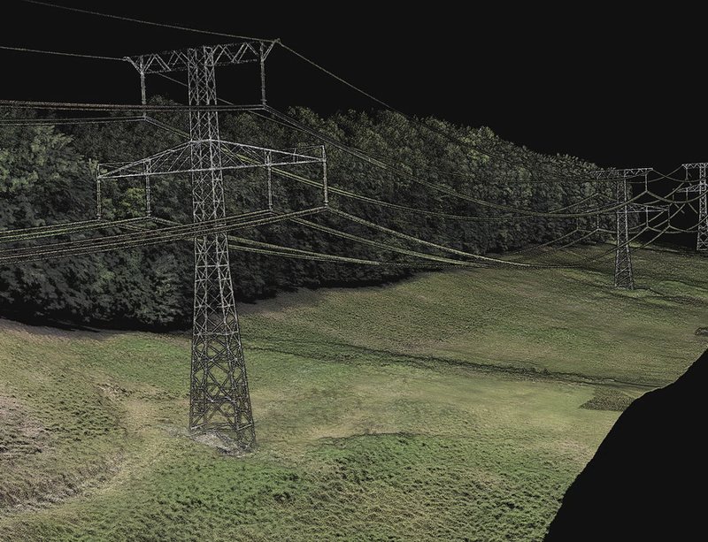
Powerlines
Inspect transmission lines from a drone and produce the outputs that are critical for uninterrupted electricity distribution.
-
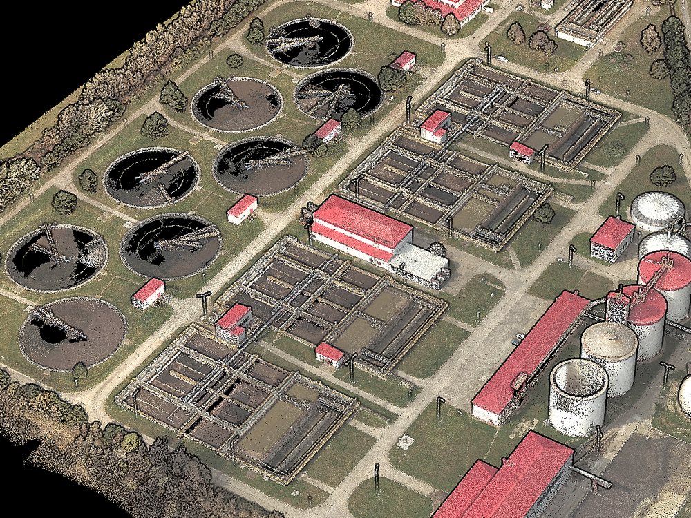
Industrial sites and digital twins
Scan a plant, a factory floor or an entire city and create a digital replica of the physical asset.
-
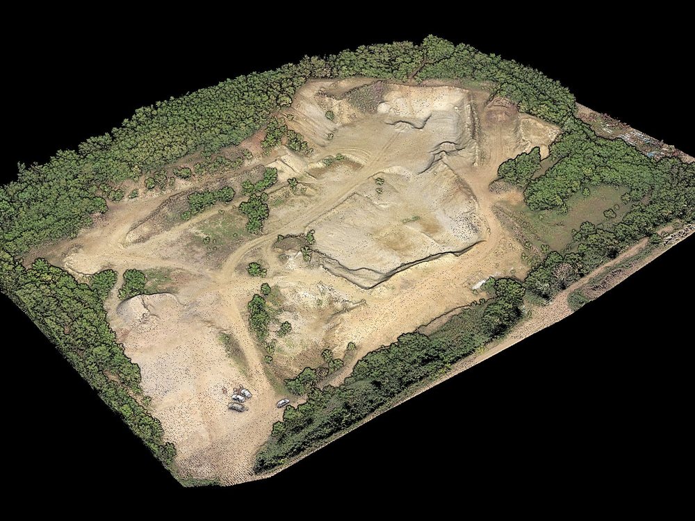
Mining and quarrying
Measure volumes and surfaces, explore slope stability and run comparative analyses. Very effective and safe in combination with a UAV.
-
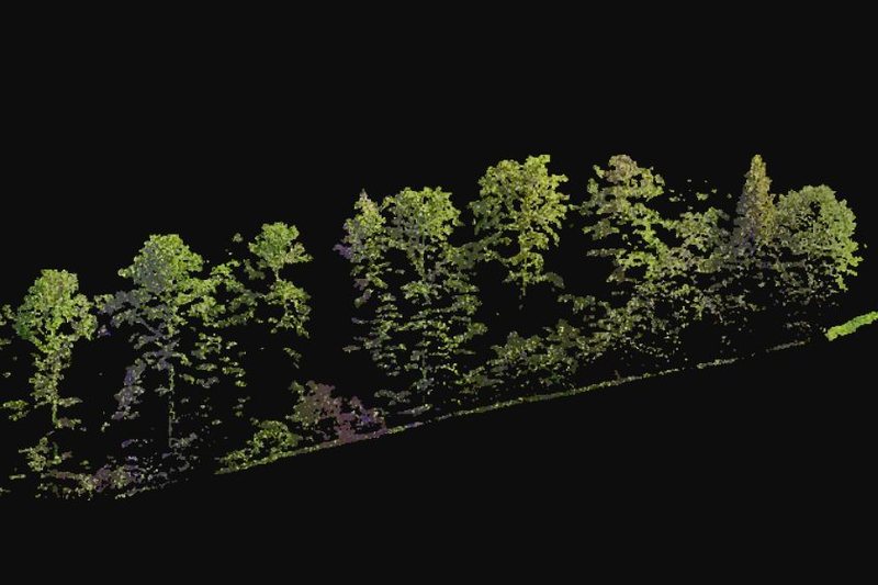
Forestry
Plan and manage forests and measure the vertical structure of the canopy, its bulk density and its base height.


-
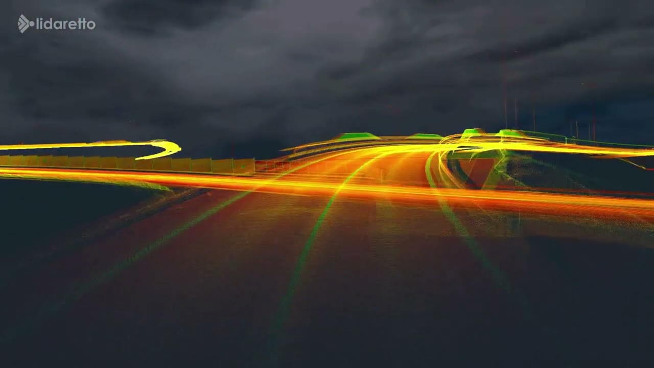 Highway crossroads and tunnels, scanned from a car
-
 Rockfall site, scanned from a UAV
From the scan to the deliverable
Lidaretto H32(X) records the site. Lidaretto Creator & Innovator turn the recording into what you hand over. Both are two-in-one desktop software and do not rely on external cloud services.
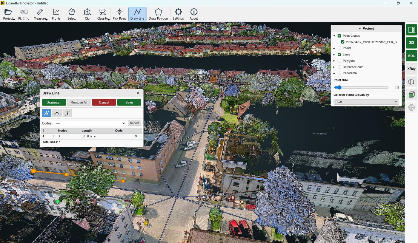
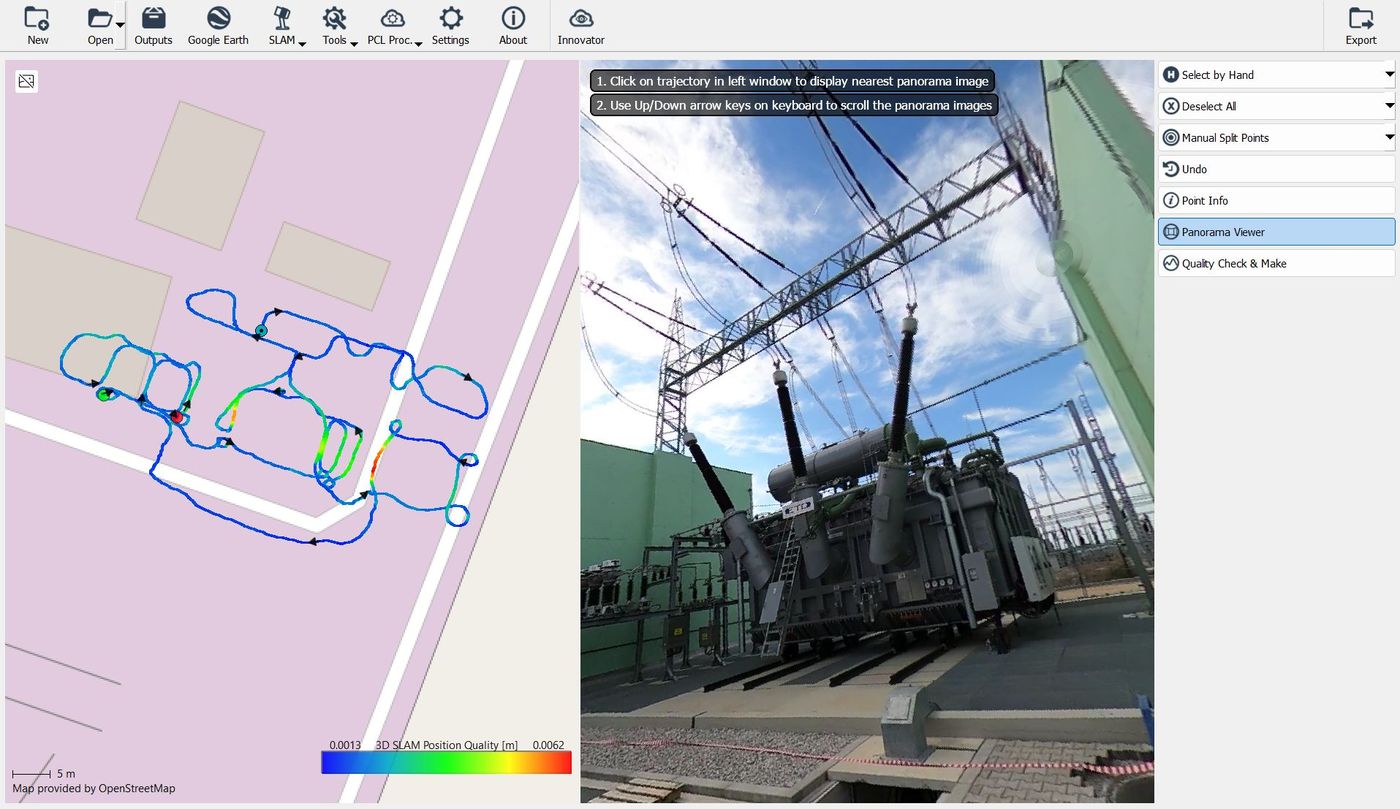
Lidaretto Creator
Process captured data. From the raw recording to a clean, quality-checked point cloud.
- Raw data import for PPK and SLAM mode
- Project setup, combining the scan with the PPK or SLAM trajectory
- Multipass adjustment, RGB colorization, variable export options
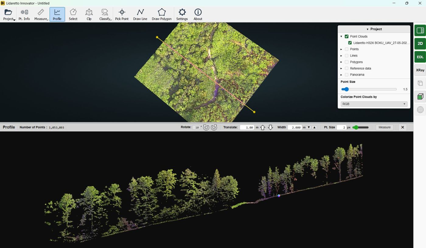
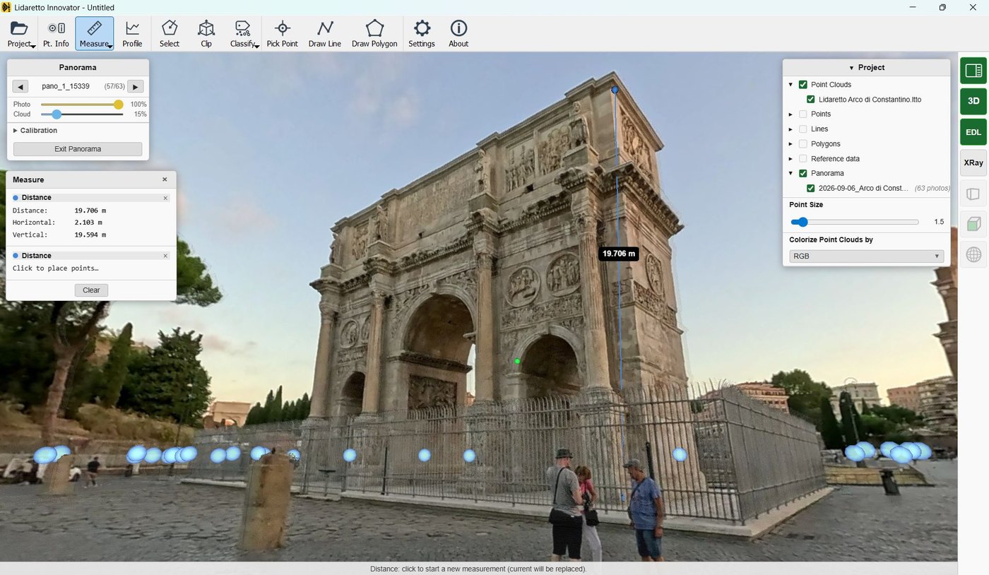
Lidaretto Innovator
Deliverables. Measure, classify and draw on the point cloud for CAD.
- Pick points, draw lines and polygons, profile tool
- Measure distance, area and volume
- Classification, DTM and DSM, merging and registration
Questions about Lidaretto H32(X)
What is the difference between H32 and H32X?
H32 uses Hesai XT32 with up to 120 m range and 2 returns. H32X uses Hesai XT32M2X with up to 300 m range, 3 returns and a lower weight of 1.2 kg instead of 1.5 kg.
Can I choose between PPK and SLAM?
Yes. The built-in GNSS receiver and IMU support PPK, and you can switch to SLAM mode for projects where PPK is not suitable, such as indoor spaces.
Where can I mount it?
On a UAV, a car or a backpack, or hold it in your hand. Or any other moving platform. Brackets and GNSS antennas with cables are made for each setup.
Can I colorize the point cloud?
Yes. A 360° camera enables point cloud colorization and panorama export. Lidaretto Creator adds RGB colors to the exported point cloud.
Is the software cloud-based?
No. Lidaretto Creator & Innovator are desktop applications that work without relying on external cloud services.
PPK and SLAM, or SLAM only?
Same Hesai Lidars, same software. The difference is how the scanner positions itself and where you carry it.
Swipe sideways to compare both scanners.
| Lidaretto H32(X)This page | Lidaretto H32S(X)SLAM only | |
|---|---|---|
| Positioning | PPK & SLAM | SLAM only |
| GNSS | NovAtel INS: GNSS and IMU | Not needed, RTK option possible |
| Lidar | Hesai XT32 or XT32M2X | Hesai XT32 or XT32M2X |
| Carrying | UAV, car, backpack, handheld, ... | Handheld, harness, backpack |
| Camera | Various optional 360° cameras | Detachable 8K 360° camera |
| Request quote | See Lidaretto H32S(X) |
Get a quote for Lidaretto H32(X).
Tell us where you scan and what you deliver. We will get back to you with a quote and the configuration that fits: H32 or H32X.
Other Lidaretto products
One software suite, multiple scanners. Pick by your requirements and budget.
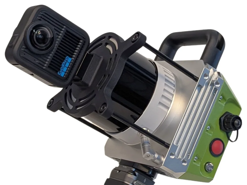
Lidaretto H32S(X)
SLAM only with Hesai XT32(M2X) and a detachable 8K 360° camera. For handheld, harness and backpack scanning without GNSS.
See Lidaretto H32S(X)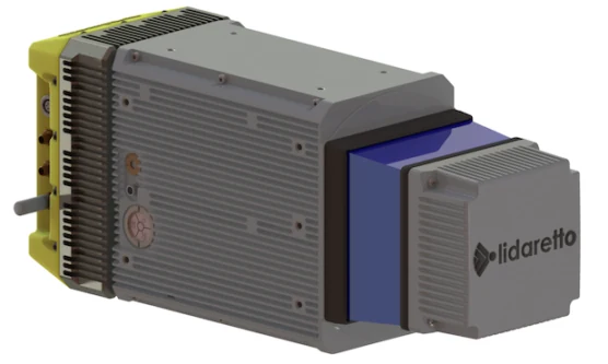
Lidaretto CL360HD
Built around the Teledyne Optech CL-360HD for high-detail long-range mobile mapping.
See Lidaretto CL360H
Lidaretto Software
Lidaretto Creator for producing the point clouds, Lidaretto Innovator for visualization and processing .
See Lidaretto Software