Office software
Lidaretto Software Suite
From scan to final 3D deliverable
The Lidaretto ecosystem pairs high-quality scanners and accessories with a powerful software suite. Lidaretto Creator and Lidaretto Innovator cover the entire workflow — from processing field-captured data into accurate, clean point clouds to visualize, edit, and produce final deliverables.

Capture
Drive, fly, walk or ride. PPK or SLAM mode
Lidaretto Creator
Clean, georeferenced, quality-checked point clouds
Lidaretto Innovator
Visualize, modify, classify, vectorize, and much more
01 — Processing
Lidaretto Creator
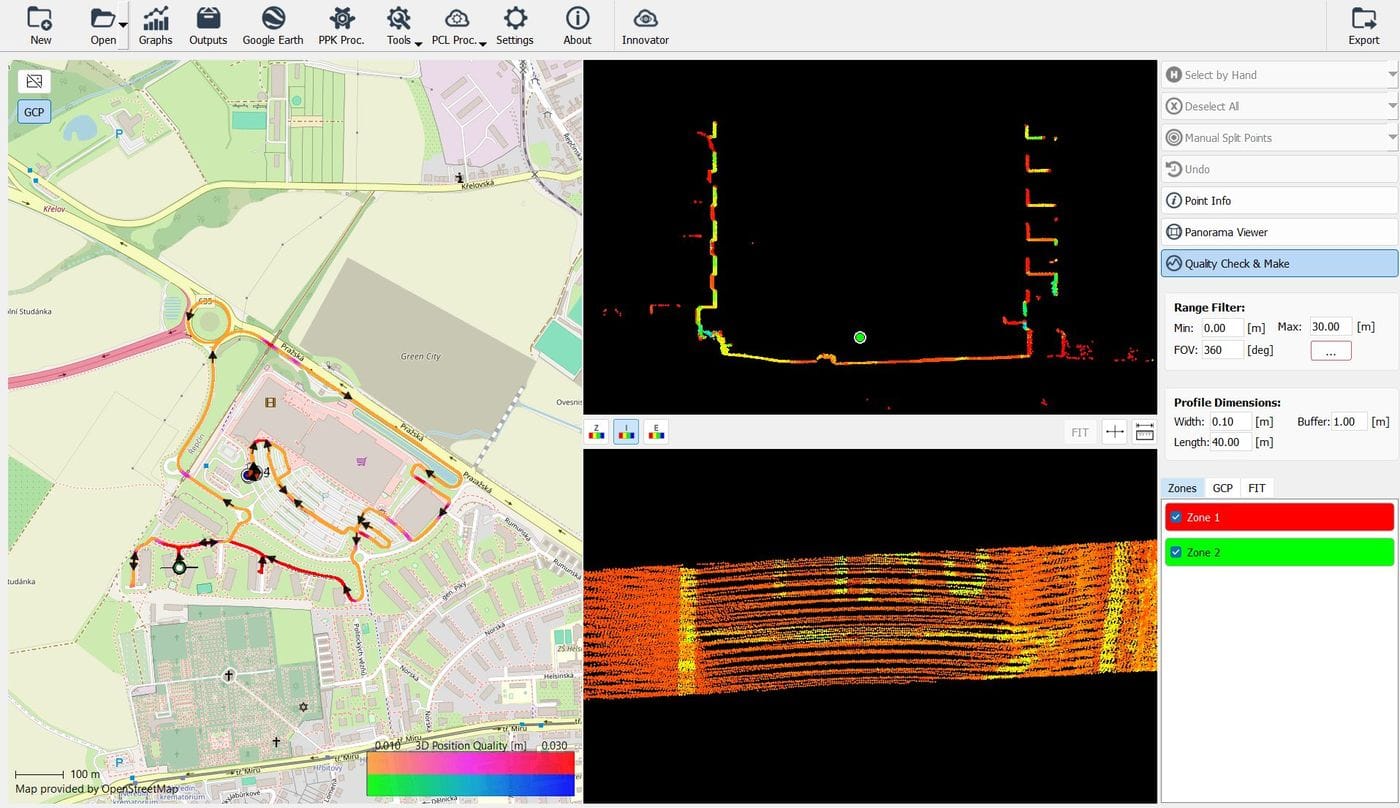
Turns scan and trajectory data into accurate, clean, georeferenced point clouds — and tells you how good they are before you export them.
Data & projects
- Raw data import — Lidaretto scanner data, PPK and SLAM mode
- Project setup — combination of scan and PPK/SLAM trajectory data
- Coordinate system management and GCP import for check and control
- File format convertor and UAV flight planner
Processing & quality
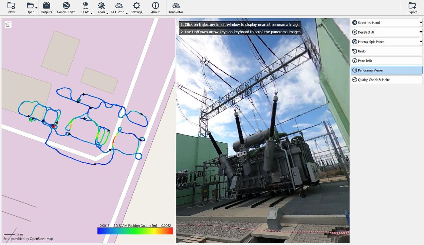
- SLAM processing — various presets to achieve highest quality
- Multipass adjustment — aligns multiple PPK passes
- Reports on data quality, quality checks and adjustment tools
- Advanced filtering — moving objects, noise, smoothing, subsampling
Review & export
- Panorama viewer and 360° video player
- Multiple selection tools for marking the parts to be exported
- RGB colorization of exported point clouds
- Variable export options
02 — Deliverables
Lidaretto Innovator
Opens the point cloud, measures it, classifies it and turns it into the drawing or surface the client actually asked for.
Import & display
- Point clouds from Lidaretto Creator or 3rd party software
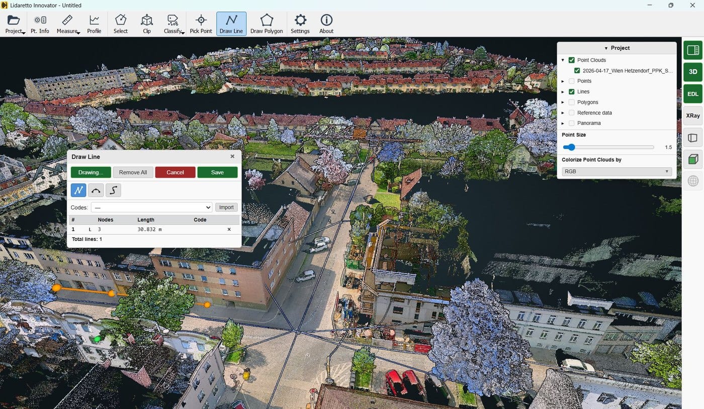
- Multiple display options — RGB, intensity, elevation, time, range, normals, file, class
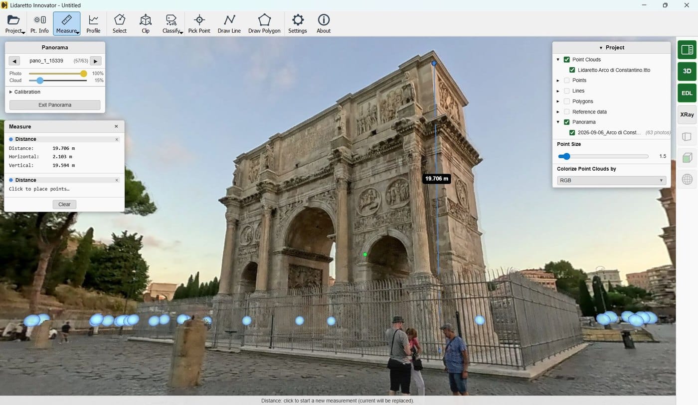
- Reference data import, background maps support and panorama images viewing
- Easy to use Windows based software
Inspect & measure
- Profile tool, selection tool, clipping tool
- Measure tools — distance, area, volumes, density
Create & deliver
- Capture points, draw lines and polygons — exported in various ASCII and CAD formats
- Classification tools
- Point clouds merging / registration
- DEM / DTM
Licensing
The same license options apply to Lidaretto Creator and Lidaretto Innovator. Choose the term that fits the project.
Perpetual
One-time purchase, yours to keep
3-year
Fixed term for long-term projects
1-year
Annual term for a single season or project
Get a quote for Lidaretto Creator and Innovator.
Request a quote